With Maply, you can group your data into different buckets and create a layer for each of them. You can turn on and off each individual layer. Discover more insights from your geospatial data as you examine the layers individually and all together.
You can also easily re-order them with drag-and-drop.
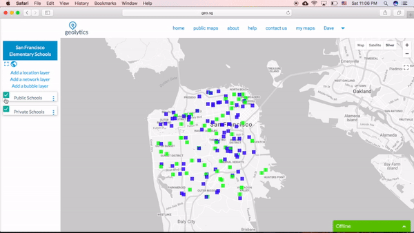
For locations layers, you have an option to create multiple of them in one go. Click here to learn more.