Creating a single location layer takes just a few steps — upload your data, wait for the map to load, and you’re done. But when you need to create 10, 20, or 100 layers at once — each representing a different region, team, or product category — doing it one at a time adds up quickly.
Location Layer Batch Creation lets you build all of them from a single file upload.
What you can do with batch import
- Create up to 100 location layers in one upload
- Supports Excel (.xlsx, .xls) and CSV files
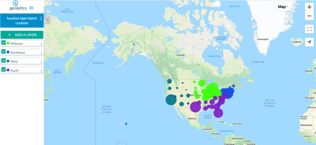
- Each layer gets its own colour — automatically assigned, and fully editable afterwards
- Works with or without latitude/longitude — Maply geocodes addresses automatically if coordinates aren’t provided
- Real-time progress bar shows processing status as your layers are created
No template required — AI detects your columns
Maply uses AI to detect your column layout automatically, so you don’t need to reformat your existing data. The only requirement is a column that identifies which layer each row belongs to — Maply uses this to group your locations into separate layers. Everything else is detected automatically.
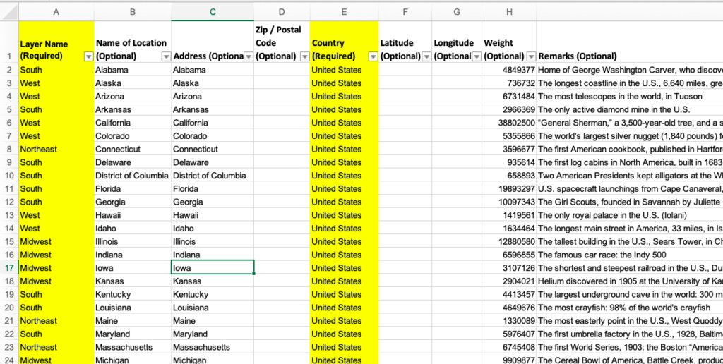
Supports up to 15 columns. Any columns beyond the standard fields (name, address, lat/lng, weight, remarks, URL) are stored as custom data and remain searchable in the Show Data view.
How to create a batch location layer
- Create a new map
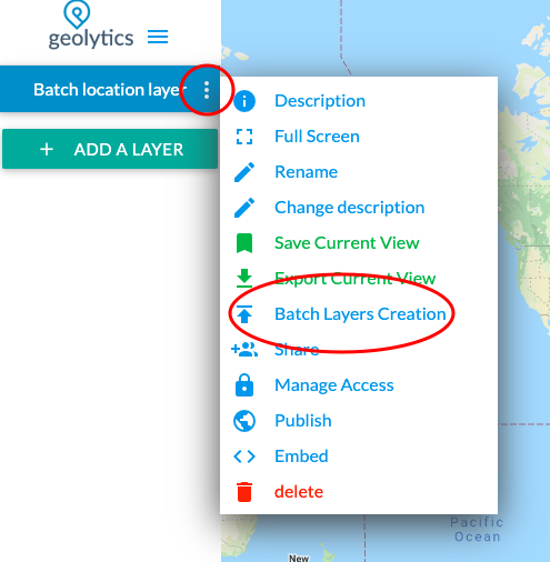
- From the Map Settings menu, select Location Layer Batch Creation
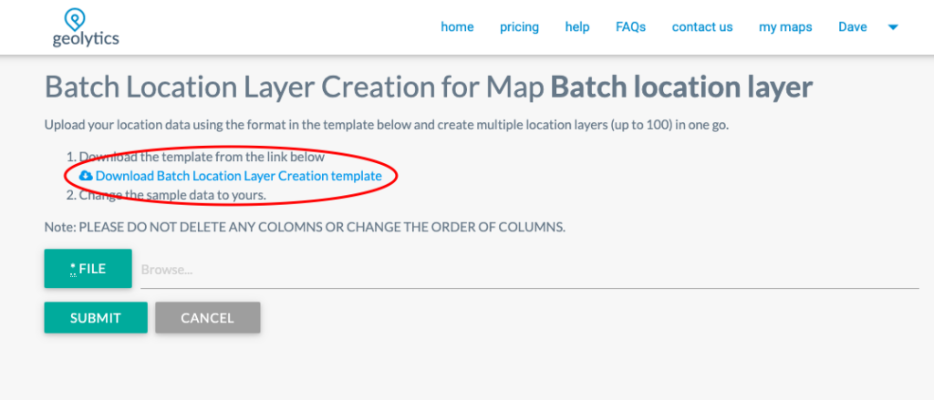
- Download the sample file if needed, fill in your data, and upload
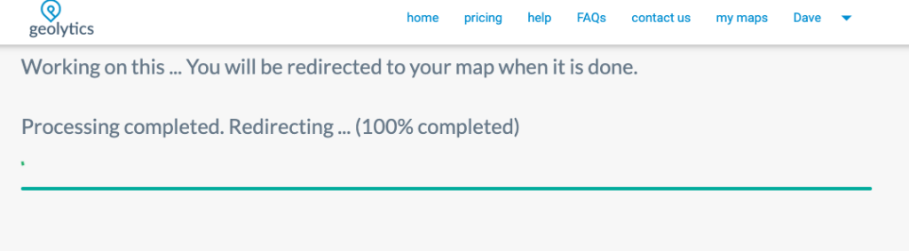
- Monitor progress on the progress screen — Maply processes everything in the background
- Once complete, your map opens with all new location layers added. Marker colours are randomly assigned per layer — you can customise colours, icons, and other settings for each layer afterwards.
Import limits by plan
| Free | Pro | Max | |
|---|---|---|---|
| Max file size | — | 20 MB | 50 MB |
| Records with lat/lng | — | 50,000 | 250,000 |
| Records with geocoding | — | 5,000 | 25,000 |
| Max layers per batch | — | 100 | 100 |
The batch file explained
The batch file is similar to the standard single-layer location file — the key difference is a Layer Name column that tells Maply which layer each row belongs to. Rows sharing the same layer name are grouped into one layer. You can have as many layer names as you need in a single file, up to 100.
The sample file is provided as an example only — you are not required to follow its structure strictly. However, two columns are always required: Layer Name (to assign each row to a layer) and Country (needed for geocoding if latitude and longitude are not provided).
Note
This feature is only available under Maply PRO and MAX plans. Upgrade your subscription if you need this.