Maply supports KML file upload and display. You can create a KML layer and attach a KML file to it. It will be shown together with other layers on the map. Similar to other types of layers, you can switch it on and off, rename it and delete it later if not needed any more.
Important Note
This feature is not available under FREE plan. A Maply PRO or MAX subscription is required before you can add a KML layer.
Also note that KMZ files are not currently supported.
You can download an example KML file here and try it out following steps below.
- Open your map, on the left hand controls, click ADD A LAYER button. A drop down menu appears.
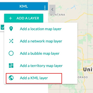
- Choose Add a KML Layer. KML Layer creation page appears.
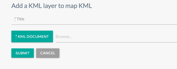
- Give the layer a title and select the example KML file you just downloaded.
- The KML layer is added to your map.
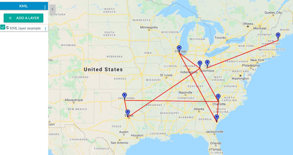
This example KML file was downloaded from Paul Bogard’s Flight Historian.