Export / Download a Map as an Image
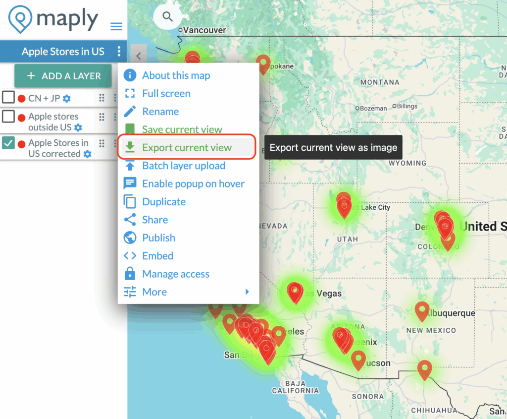
After creating an awesome, you may want to take a screenshot of it and share it with your colleagues / friends. We have made this really easy for you.
With just two clicks and 1-2 minutes of waiting, a full screen map will be downloaded as an image.
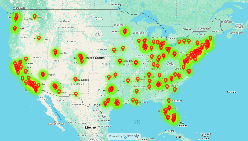
Below is an example output.
warning Note
Due to technical limitations, the exported image will not include the Hyper Location layer, Territory Map layer, or Label layer. If your map contains any of these layers, we recommend taking a screenshot of the map instead of using the export function.
You map also be interested to know
Save Current Map ViewPublish a map to give everyone read-only accessZip/Postal Code AnalyticsShare a private map to othersGetting started with MaplyCreate a heat mapCustomize location iconsExcel Geocoding Tool
Have a question?
and we'll get back to you as soon as we can (usually in 24 hours, if not sooner).