What is Hyper Location Map?
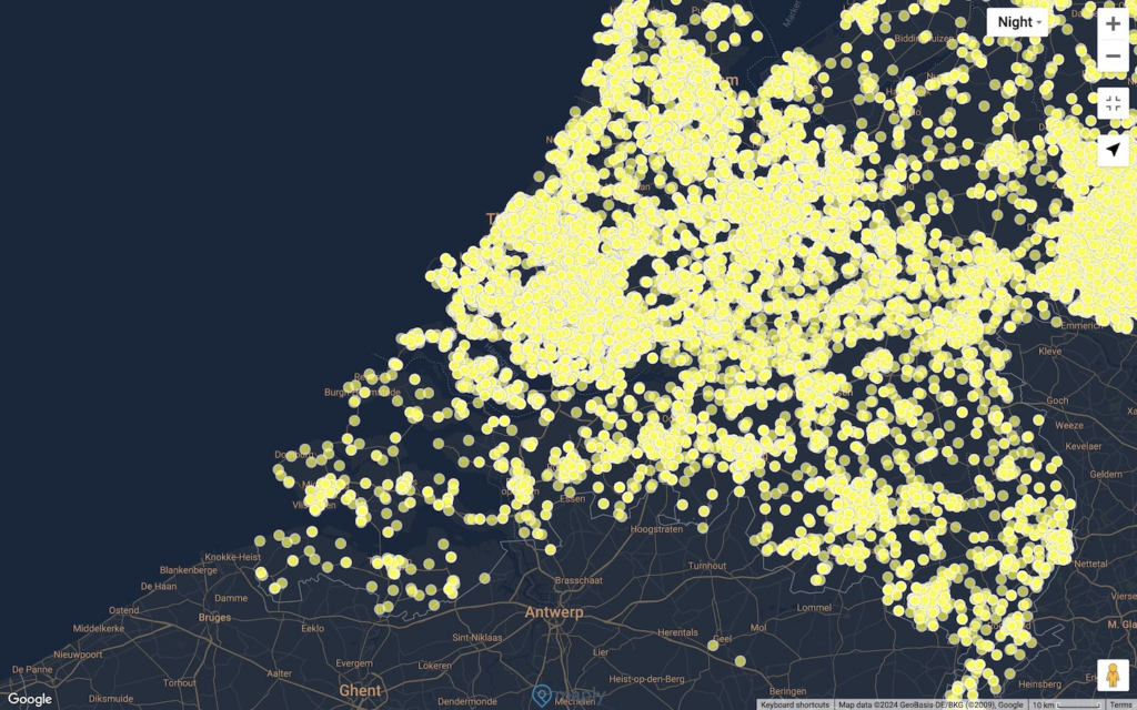
The Hyper Location Map Layer is designed for visualizing a very large number of locations on the map, specifically those datasets exceeding 5,000 locations. Unlike a standard location layer, the Hyper Location Map Layer efficiently displays vast numbers of individual pins with optimal performance.
Differences between Hyper Location Map Layer and Standard Location Map Layer
Below is a table highlighting the distinctions between the Standard Location Layer and the Hyper Location Layer.
| Standard Location Layer (for <5,000 locations only) | Hyper Location Layer | |
|---|---|---|
| Display individual pins for < 5000 locations | ✔ | ✔ |
| Display individual pins for > 5000 locations | ✔ | |
| Heat Map | ✔ | ✔ |
| Cluster Map | ✔ | ✔ |
| Hexagonal Heat Map | ✔ | |
| Image Icons | ✔ | |
| Center of Gravity | ✔ | ✔ |
| Route Optimization | ✔ | ✔ |
As illustrated, the Hyper Location Layer is particularly beneficial for datasets with over 5,000 locations. It not only displays individual pins for numerous entries but also features a Hexagonal Heat Map for visually compelling insights. For scenarios where location icons need to be custom images—like your logos—the Standard Location Map is a great choice.
How to create a Hyper Location Layer
The process of creating a Hyper Location Layer is exactly the same as creating a standard location layer, except that you need to hover over “More”, then select “Add a Hyper Location Layer”, instead of “Add a Location Map Layer”, when adding a new layer, as in the screenshot below.

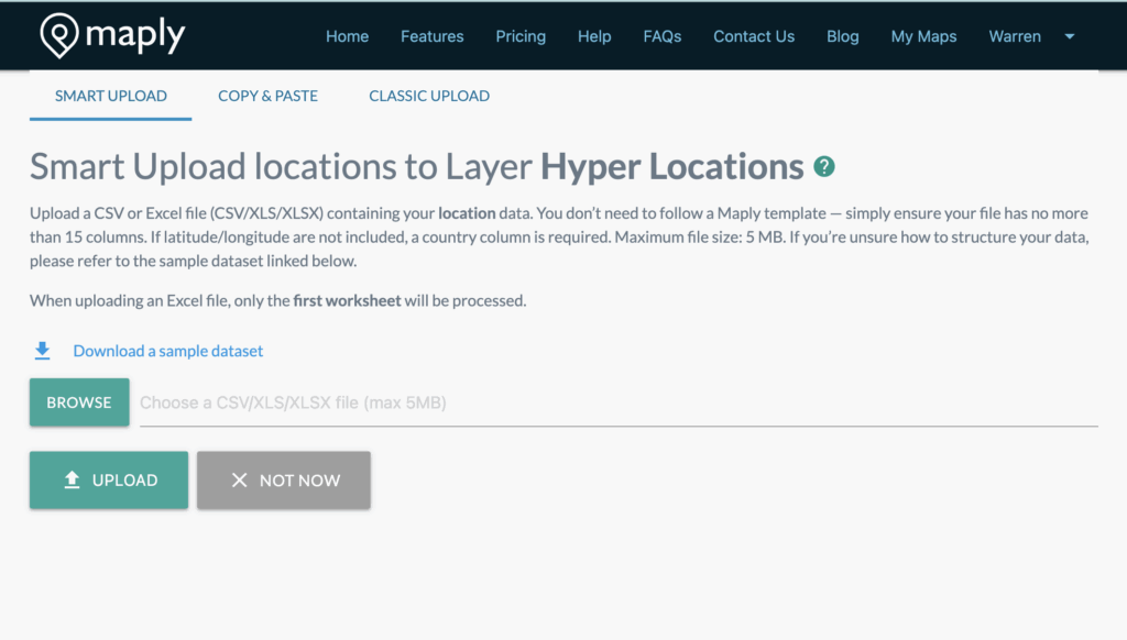
You can now also choose to upload your locations using “Smart Upload”, “Copy & Paste” or “Classic Upload”. Guidelines and usage are the same as creating a standard location layer.
Important Note
When the number of locations on a standard location layer exceeds 5,000, it will be converted to a Hyper Location Layer automatically.
How to tell if a location layer is a standard one or a hyper location layer
The summary page has this information.
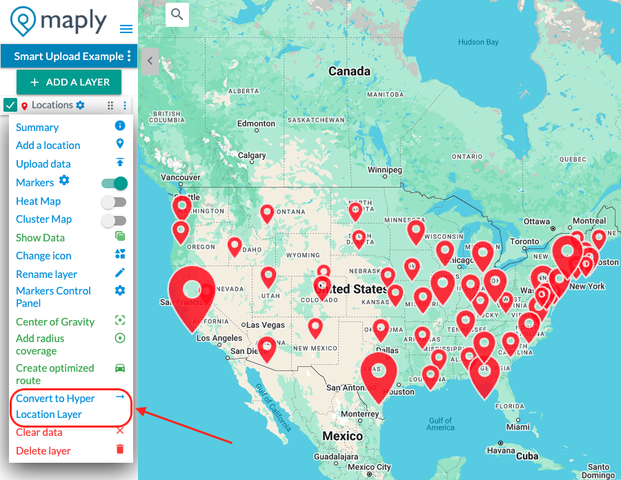
Converting between Standard Location Layer and Hyper Location Layer
You can easily switch between Standard and Hyper Location Map Layers from the layer menu.