Have a list of zip / postal codes with you and wondering how they are distributed geographically?
You can easily visualize them on the map with Maply. We show you how to do it using an example.
Get a Sample Dataset
Here are 100 United Kingdom postal codes in an Excel file ( Download it here ).
Step by Step Guide
This sample dataset contains only two columns: 1) Zip / Postal code, 2) country. Follow below steps below to put these zip / postal codes on the map.
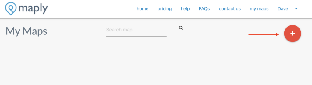
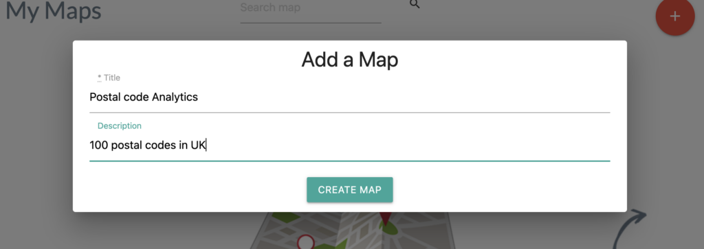
- Create a new map
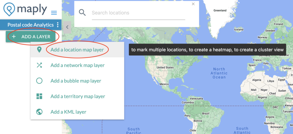
- Add a location layer
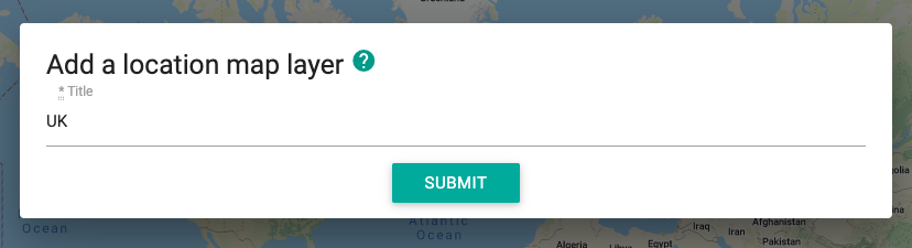
- Upload the previously downloaded file (downlink above), which contains 100 UK postal codes, to the newly created location layer.
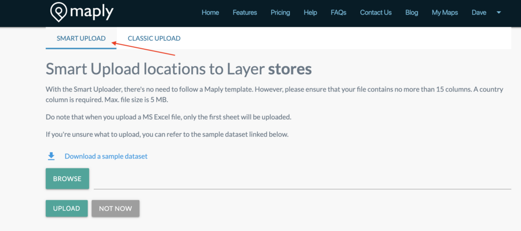
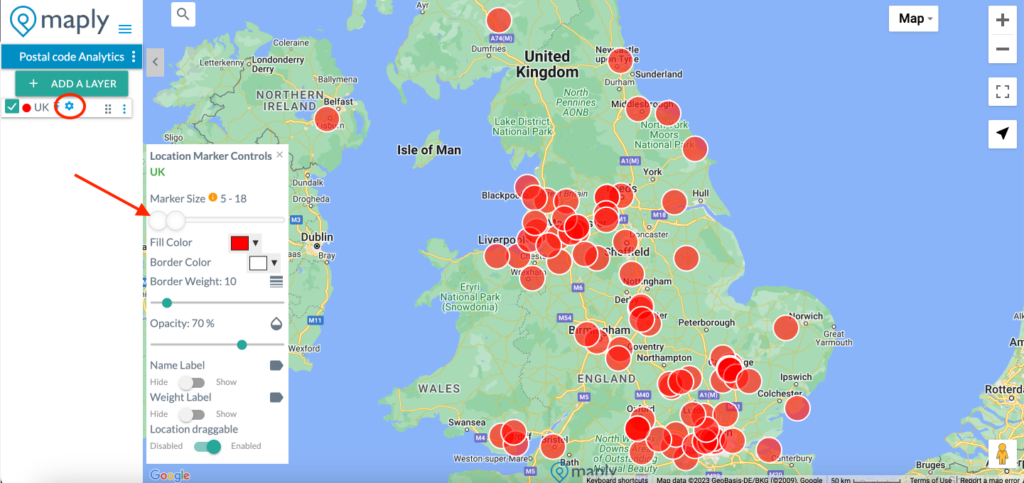
- Adjust the size of the icon if you wish
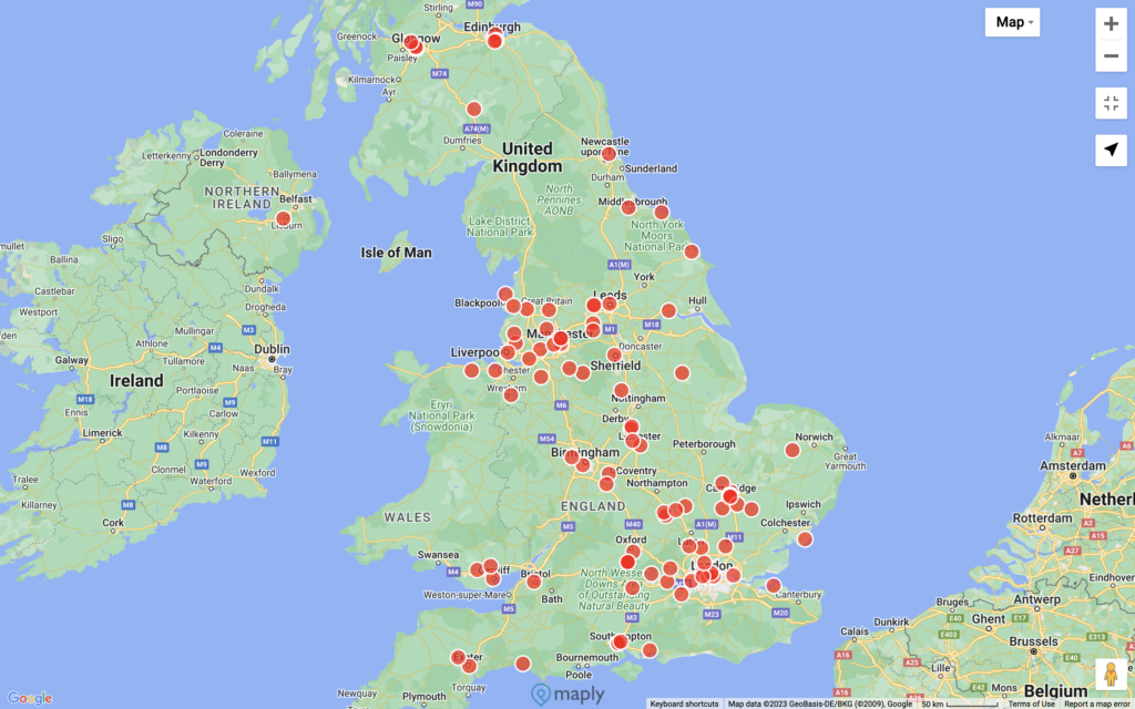
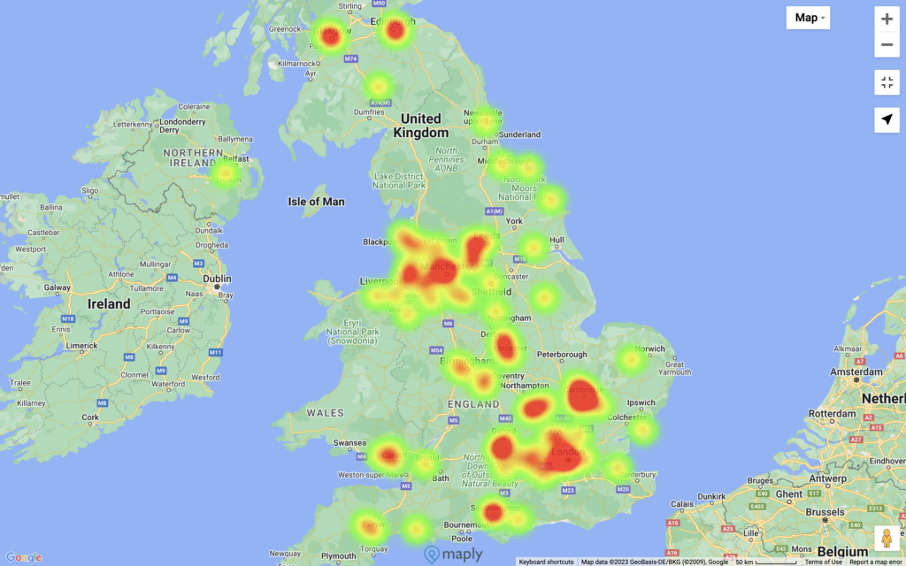
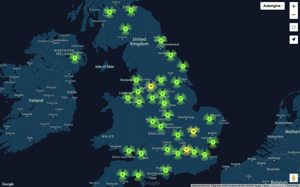
The Result
Marker View
Heat Map View
Cluster Map View
Now do this all over again, this time with your own zip codes replacing the ones in the example file and see what the resulting map look like.
Powered by Google Maps Platform, Maply supports zip codes / postal codes of most countries on earth, including United States, United Kingdom, Australia, New Zealand, Europe, China, Canada, Singapore and other South East Asia countries, etc.
Improving the Mapping Accuracy
We have noticed that for countries such as Germany, Australia, adding a city/suburb column to the dataset can significantly improve the mapping accuracy. Here ( Download) is another sample dataset with 91 postal codes in Berlin, Germany, with a city column. The result can be much better than with just the postal codes and country information.
If you experience accuracy issues with your zip / postal codes, it might be a good idea to try including city information. If you encounter problems on supporting of zip / postal codes, please drop us a note to report the issue.
Usage Limits
However, do note that the limit is 100 records per upload under the FREE plan. Check out the pricing page if you need higher limits.